folding
 Geological folding involves the plastic deformation (bending, buckling) of a single or multiple (stack) strata, such as sediments and rocks, which were originally planar horizontal surfaces. Although even brittle rocks may undergo plastic deformation when stresses are applied over considerable periods of time (low strain rate). Beyond plastic deformation, rocks fail structurally and faulting occurs.
 Folds may be isolated or may occur in extensive fold trains, and folding may range from the microscopic scale to mountain-sized folds in orogenic belts. Folds are classified according to size, fold shape, tightness, and dip of the axial plane.
Folding can occur by flexural slip, buckling, or mass displacement under under varying conditions of stress, hydrostatic pressure, pore pressure, and temperature.
 Slumping of material before deformation causes synsedimentary folds. Folding orientation can produce:
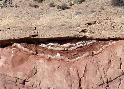
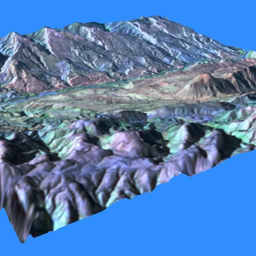
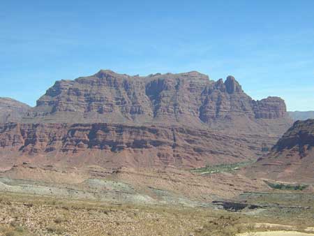
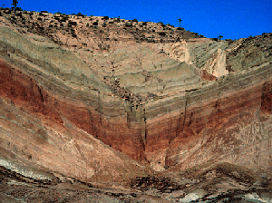
links: images: plunging anticlines and synclines north of Moab, UT; Folding Satellite Images gallery; Capitol Reef, UT, satellite image and false color image of a monocline and syncline crossed by transverse stream; Capitol Reef Fold, Capitol Reef from ground, 3D anaglyphic images (needs 3D glasses), wp; anticline, 2; folds, 2; fold axes; fold and unconformity; kink fold; kink fold in mountains; refolded; overturned fold; synclinal; close folding and lineations, White Mountains, NH; complex folds in shale and sandstone, Cumana, Venezuela; ductile thrust faulting and large-scale fold nappes, 2, and complex fold interference patterns produced during formation of the fold nappes; Lower Palaeozoic Gondwanan sediments (ca. 500 My) metamorphosed and folded during Variscan Orogenesis (ca 350 My), Aiguilles Rouges, Lac d'Emosson; folding in schist; chevron fold, road cut Kingston-Rhinecliff Bridge, NY; fold, 2, road cut, Catskill, NY; California fold; sheath fold with strongly curved hinge line; glaciotectonic fold, Melabakkar, and close up, 2, 3; ptygmatic folding in quartz vein in Archean metasediments; folded Cambrian limestones and shales, Bay of Islands, Newfoundland ; large folds (Osceola) indicate laterally directed strain away from 4 km distant transient crater (Weaubeau structure of southwestern Missouri); folds in the Barranquin Formation, northeastern Venezuela; webpages: Geology Gallery : Folds : Geological Structures : Secondary Rock Structures : Mouser
Labels: anticline, basin, deformation, dome, folding, monocline, ptygmatic fold, recumbent folds, slumping, syncline, synsedimentary