D
▪ décollement folds ▪ deformation ▪ diapir ▪ diatreme ▪ dikes, dikelets (aplite dikes, pegmatite dikes) ▪ dip ▪ dip direction ▪ direction (dip, plunge, strike) ▪ disconformity ▪ discordant ▪ duplex ▪ dykes ▪


Definitions and images to illustrate geological terms, links to images and website articles
![]()


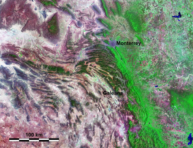
Labels: Anti-Atlas, Appalacians, décollement folds, Jura Mountains, Sichuan basin, Sierra Madre Oriental, Spitsbergen, Western Overthrust Belt
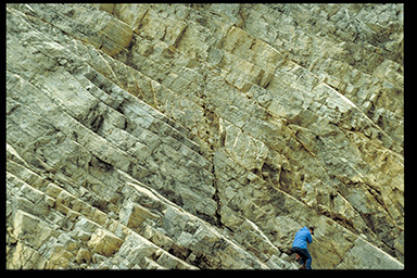
consolidated rock
Labels: brittle, compression, confining, deformation, ductile, elastic, extension fractures, faulting, folding, lithostatic, shear zones, slumping, strain, stress, tectonic
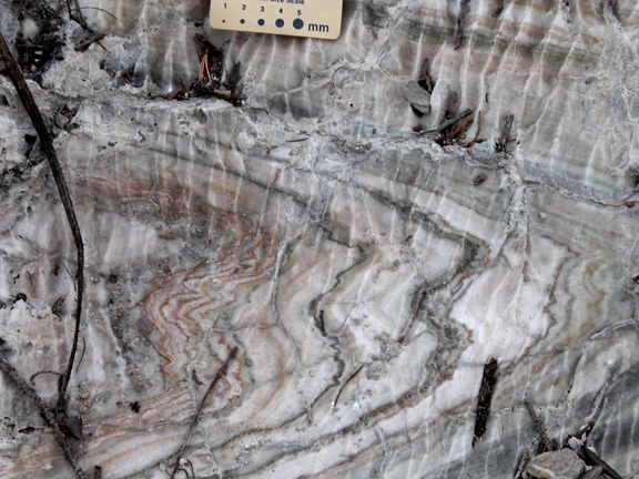
 A diapir or piecement structure results from the upward intrusion of a more buoyant material into/through overlying strata. Diapirs are most commonly composed of evaporitic salt deposits (salt domes) or gas charged muds, but may be igneous.
 If the rising plug of salt (called a salt diapir) breaches the surface, it can become a flowing salt glacier (bottom right - click to enlarge image - Iran's salt glaciers).

images Earth Observatory : Subscribe to the Earth Observatory :
[links: images: formations: gabbroic anorthosite diapir, west side of Wagers Peak in LZb (postulated mechanisms of formation are 1. that this is a diapir of liquid or mush that pushed aside and broke the overlying layers and then caused turbulence in the magma that caused deposition of the disturbed bed, or 2. that this body is actually a surface deposit of relatively hydrous, plagioclase-rich residual liquid that percolated upward through the crystal mush floor cumulates.)
Labels: diapir, piecement structure, salt diapir, salt glacier
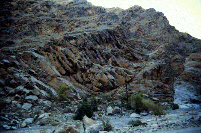
| 0 Guide-GlossaryLabels: breccia, diatreme, maars, phreatic explosions, tuff, tuff cones, volcanic pipe
Labels: aplite dike, dike, dikelet, magma, pegmatite, pegmatite dike, strata, volcano
 In structural geology, a duplex is a system of imbricate (overlapping) thrusts that branch off from a single fault below and merge with a thrust fault above. Duplexes form stacks of thrust-bounded rock bodies, which are bounded by roof and floor thrusts. The rock body that is bounded by faults above and below is called a horse.
image of imbricate thrusting in the Himalayas courtesy of USGS
Labels: duplex, hinternland-dipping duplex, Lewis thrust, ramps, thrust fault, thrust horses